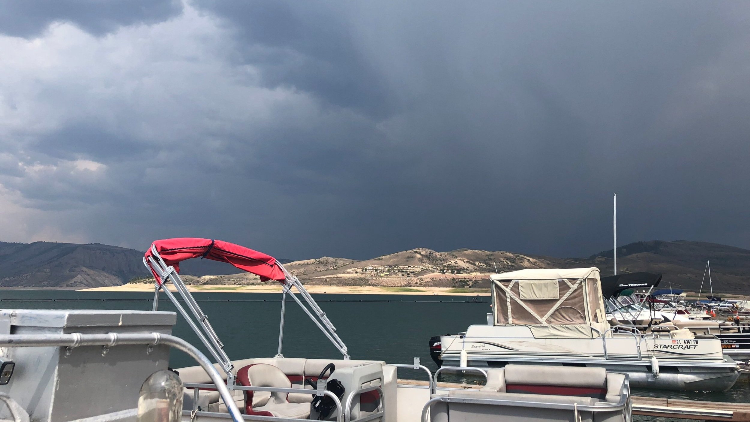
“The good seaman weathers the storm he cannot avoid and avoids the storm he cannot weather.”
Blue Mesa Weather:
Overview: A common saying that seasoned Blue Mesa sailors throw around is “if you can learn to sail on the Blue Mesa, you can sail anywhere”. This is because of the weather more than anything else. The weather is known to change from dead-calm, light wind conditions to sustained 15-20 knot winds with gust and williwaws up to 30-40 knots. Because Blue Mesa is surrounded on all sides by towering mesas, it is very hard to see the weather coming. This makes the prudent sailor very efficient with their reefing systems if they are caught out in these conditions. It is also all the more reason to do your research and study multiple different weather forecast.
Time of Year:
May to June - Ramp opening is dependent on the amount of ice on the reservoir. Normally the ramps open towards the end of April and the Marinas open around May 15th. This time of year, you can get a day of no wind, perfect wind, or gale force wind from all and any direction. The water temperature stays around 35-40 degrees on the surface due to snowmelt so wear your lifejacket and wetsuit if you have one. It can save your life.
June to early-September - Mornings can be very fickle, with small localized wind patterns that come from all over the compass and are hard to predict. You can almost set your watch by the wind picking up from the West around 12-1pm when the temperature is nearing its peak and thermic conditions begin to prevail. This change is VERY quick and can be extremely dangerous if you are caught unprepared. There is usually about 15 to 45 minutes of “perfect sailing” when the wind starts to fill in from the West. This will have you putting out as much sail area as possible, thinking “this is awesome” as you glide along on still calm water. Then, if you are looking to the west, you will see a very distinct dark blue line of disturbed water moving towards you…fast. As this wind line grows, there will be white caps and building waves in its wake. *typically* this initial wall of wind comes in around 15-20 knots but the gust can be closer to 35 knots. The closer you get to the edges of the reservoir, the more chance of getting hit by a williwaw. One second you are protected by the lee of a mesa or cliff, then wham! You can get hit by a huge downward gust from a different direction. From my (Max’s) personal experience, afternoons with cirrus or cirrostratus clouds above 20,000’ or no clouds at all, are the highest wind days. Your low to mid-level altostratus or stratocumulus clouds will bring more consistent, but still fresh winds. This is a fine line because the lower level stratocumulus and cumulus clouds can quickly develop into nimbostratus and cumulonimbus thunderstorms. Again, with limited visibility and relatively slow hull speeds, by the time you see the thunderstorm it is usually too late.
September to November - The fall can bring some of the best sailing Blue Mesa has to offer, the lower temperatures in the afternoons mean much more stable atmospheric pressure and picture perfect altocumulus throughout the day. Unlike the summer season, the mornings can offer more consistent winds, usually from the east or north. Similarly, the afternoon wind is not always out of the West like it is in the summer, so if you plan your trip right, you can take a nice downwind cruise to Lake Fork.
Forecasting Sites and Apps
-
Windy.com
Windy is a great resource because you are able to compare different weather forecast, view local weather stations, and overlay forecast on the map with cloud cover, wind direction, sustained speed and gusts. We have found HRRR (High-Resolution Rapid Refresh) and NAM (Regional mesoscale model) forecast to be the most accurate for our high altitude conditions.
-
Weather Underground
Another great free option is Weather Underground. While it does not offer as many features as Windy, it is still a great forecasting resource. Similar to Windy, you are able to view real-time, local weather stations which are almost more valuable than forecast models if you know what to look out for with barometric pressure changes.

